Airborne survey unlocks resource potential - West-Central British Columbia
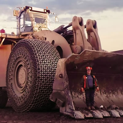
The survey, conducted in the fall of 2015, was designed to identify mineral potential in this under-explored region and provide important information to guide land use decisions. — Photo courtesy Geoscience BC
At the recent Mineral Exploration Roundup in Vancouver new data was released from the first phase of Geoscience BC's $2.415 million Search Project that will help exploration companies operating in west-central British Columbia unlock the resource potential hidden below the region's surface. The release of Geoscience BC's earth science data leads to increased interest in mineral exploration. The data will be valuable to First Nations and local communities interested in increased knowledge and understanding leading to better and more informed land use decisions.
The Search project is the most detailed airborne magnetic survey ever flown in west-central BC covering 6,700 square kilometres between Terrace, Kitimat and Smithers. The survey, conducted in the fall of 2015, was designed to identify mineral potential in this under-explored region and provide important information to guide land use decisions. Some parts of this area have not been surveyed since the 1960s.
"The data we have generated here will provide detailed insights into the bedrock and focus mineral exploration and investment in this area," says Bruce Madu, Vice President for Minerals and Mining at Geoscience BC leading the multi-year Search project. "The data is available to anyone interested in the geology of this area."
Airborne magnetic surveys can detect concentrations of magnetic minerals below the earth's surface, particularly when the surface is covered with forests and sediments.
New mineral discoveries, and the investment and employment that flows from them, are vital to the economic health of British Columbia," says the Honourable Bill Bennett, Minister of Energy and Mines and Minister Responsible for Core Review. A portion of the Search Project funding came directly from the $5 million investment the government of BC provided Geoscience BC in 2015.
"It is very important for First Nations Communities to include reliable geoscience data when considering investment and land use decisions in their territories. This survey data will contribute to the decision making process in a meaningful way," said Dallas Smith, President of Nanwakolas Council.
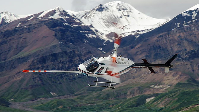
Vancouver-based Precision GeoSurveys Inc. was selected to fly the survey after a competitive bidding process. The entire program was based out of Terrace utilizing local goods and services.
In 2016, Geoscience BC is planning to survey an area between Smithers and Vanderhoof, potentially the largest survey Geoscience BC has ever commissioned.