Satellite Insights into Mining’s Ecological Impact

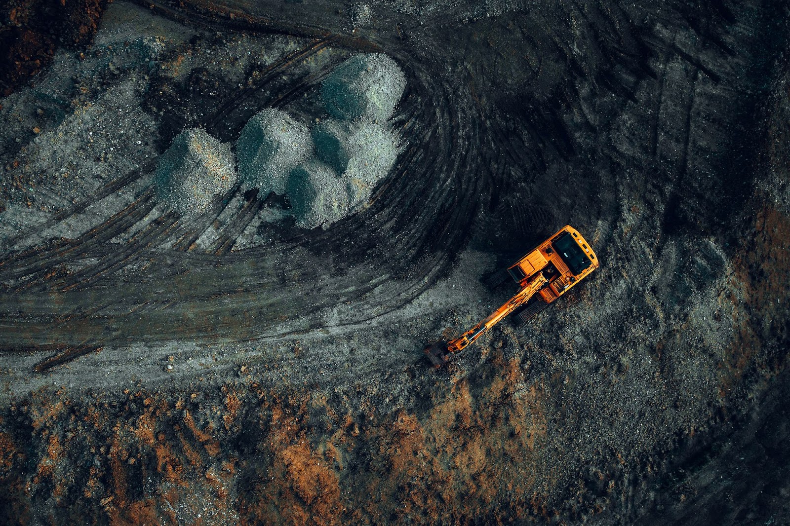
Mining remains a cornerstone of global economic growth, supplying critical raw materials required for infrastructure, electronics, renewable energy, and countless everyday products. Yet, extracting these valuable resources comes with a steep ecological cost, significantly impacting biodiversity, water systems, air quality, and overall ecosystem integrity. Given the far-reaching consequences, rigorous monitoring of mining’s environmental footprint is vital to safeguard natural resources and community health. Satellite technology, providing up-to-date satellite imagery, has become indispensable in achieving this essential oversight. Let's explore why tracking the environmental effects of mining is so important for future generations.
Importance of Monitoring Mining’s Environmental Impacts
Monitoring the environmental effects of mining is essential, given the significant ecological disruptions linked to mineral extraction processes. Mining often leads to substantial habitat destruction, soil degradation, contamination of water bodies, and loss of biodiversity. Without rigorous environmental monitoring, these impacts can escalate, resulting in irreparable ecological damage and profound socio-economic consequences for surrounding communities.
Satellite-based solutions, particularly using updated satellite images, represent a powerful approach to comprehensively track and manage mining’s ecological footprint. Unlike traditional field-based surveys, satellite monitoring offers continuous, reliable, and cost-effective observation capabilities, even in remote and difficult-to-access locations. This ensures prompt detection of environmental changes, allowing stakeholders to view the latest satellite scenes and maps and swiftly implement corrective measures or preventative strategies.
For instance, following the 2015 Samarco dam disaster in Brazil (also known as the Fundão dam collapse), satellite imagery was instrumental in assessing the widespread environmental damage and sediment dispersion, helping authorities direct cleanup efforts efficiently and transparently. Similarly, satellite data aided in monitoring deforestation caused by gold mining activities in Peru’s Madre de Dios region, enabling the government and environmental agencies to respond proactively and halt illegal operations.
Effective satellite monitoring promotes transparency, ensures regulatory compliance, and enhances corporate environmental responsibility, ultimately benefiting both the mining sector and the wider community.
Satellite Data to Monitor Environmental Impacts of Mining
Satellite imagery serves as a critical tool for accurately assessing and mitigating environmental impacts associated with mining activities. Its core applications include:
- Land Degradation and Restoration Monitoring
Daily updated satellite images enable stakeholders to monitor landscape changes, track excavation progress, and assess rehabilitation efforts post-mining. By continuously observing reclamation projects, companies can ensure compliance with environmental standards and promote effective ecosystem restoration.
- Water Quality and Pollution Tracking
Satellite data can detect water quality changes, such as increased turbidity, contamination events, or chemical runoff near mining sites. This capability enables quick response and mitigation, preventing long-term impacts on aquatic ecosystems and community water supplies.
- Deforestation and Habitat Preservation
Using the most up-to-date satellite imagery, stakeholders can identify deforestation or habitat destruction resulting from mining operations. Early detection facilitates timely intervention, protecting critical biodiversity hotspots from irreversible harm.
- Air Quality Surveillance
Satellites also detect dust and pollutants emanating from mining operations, allowing for effective management of air quality. This protects community health and reduces environmental degradation associated with airborne contaminants.
A notable example occurred in Australia’s Pilbara region, where Rio Tinto leveraged satellite technology to track and reduce dust emissions, substantially improving local air quality standards. Another case involved Canadian oil sands, where satellite-based monitoring has been used extensively to detect oil spills and leakage incidents promptly, significantly minimizing environmental harm.
Broader Applications of Satellite Data in Mining Operations
Satellite data applications extend beyond ecological monitoring, greatly enhancing various mining industry operations:
- Mineral Exploration and Resource Assessment
Companies use most updated satellite images combined with spectral analysis to locate new mineral deposits efficiently. Satellite technology thus streamlines exploration, reducing both time and exploration costs significantly.
- Operational Efficiency and Safety Improvements
Satellite imagery provides detailed topographical mapping and infrastructure condition assessments, essential for planning safe and efficient operations. Near-real-time updates can detect potential hazards like slope instability or flooding, considerably enhancing workplace safety.
- Supply Chain Optimization and Asset Tracking
Utilizing up-to-date satellite images, mining operations optimize transportation routes, infrastructure placements, and resource logistics, ensuring streamlined, efficient, and cost-effective supply chain management.
- Post-Mining Land-Use Management
Satellite technology assists in long-term monitoring of mine closures, ensuring adherence to reclamation plans and verifying sustainable post-mining land use.
In Chile, major copper producers routinely rely on satellite imagery to map mineral resources and plan precise extraction routes, enhancing productivity while minimizing environmental disruptions. Additionally, in South Africa, mining companies use satellite data to continuously evaluate operational efficiency, significantly improving resource allocation and site safety management. Let's explore how technological progress is helping achieve sustainable mining.
The Road Ahead: Technological Innovations Shaping Sustainable Mining
Technological advancements, particularly the integration of artificial intelligence (AI), IoT, big data analytics, and advanced satellite sensors, will further elevate the mining industry's sustainability standards. These innovations promise enhanced precision, predictive analytics, and proactive environmental protection strategies.
AI combined with the best up-to-date satellite imagery is already enabling the early identification of environmental risks, facilitating preventative rather than reactive responses. Furthermore, IoT and blockchain technologies are fostering greater transparency in supply chains, improving accountability and trust among stakeholders.
For instance, blockchain-based tracking systems now enable detailed tracing of minerals from extraction to market, significantly enhancing ethical sourcing practices. Meanwhile, advanced remote sensing techniques, incorporating hyperspectral imaging from satellites, promise unprecedented accuracy in environmental impact assessments.
By embracing these technological advancements, the mining industry can align economic goals with ecological stewardship, establishing a sustainable and responsible framework for resource extraction. This integration of advanced technology underscores the industry’s commitment to environmental preservation, improved governance, and long-term operational sustainability.
To explore these technological improvements firsthand and see mining’s ecological impacts clearly, you can view daily updated satellite images, gaining vital near-real-time insights into ongoing environmental changes and sustainable management strategies. Ultimately, satellite technology stands as an essential ally, empowering mining to progress responsibly while safeguarding our planet for future generations.
Author:
Kateryna Sergieieva has a Ph.D. in information technologies and 15 years of experience in remote sensing. She is a scientist responsible for developing technologies for satellite monitoring and surface feature change detection. Kateryna is an author of over 60 scientific publications.


