From Exploration to Closure: The Role of Sentinel 2 Imagery in Modern Mine Lifecycle Management
Mineral exploration is essentially a high-stakes game of probability. Before anyone authorizes a multi-million dollar drill program, geologists must narrow down vast territories into specific, high-potential targets.
From Exploration to Closure: The Role of Sentinel 2 Imagery in Modern Mine Lifecycle Management
Sponsored Content
For decades, the industry relied on expensive, sporadic aerial surveys or slow geological field mapping to make these critical decisions. That era is ending. Today, Sentinel 2 imagery is transforming the landscape, offering a stream of open-access intelligence that effectively changes how we view the Earth.
This mission hits a technological "sweet spot" for miners: 10-meter spatial resolution, a rapid 5-day revisit time, and 13 multispectral bands. By integrating this data, forward-thinking operators are revolutionizing workflows across the entire chain, from initial grassroots exploration to post-closure rehabilitation.
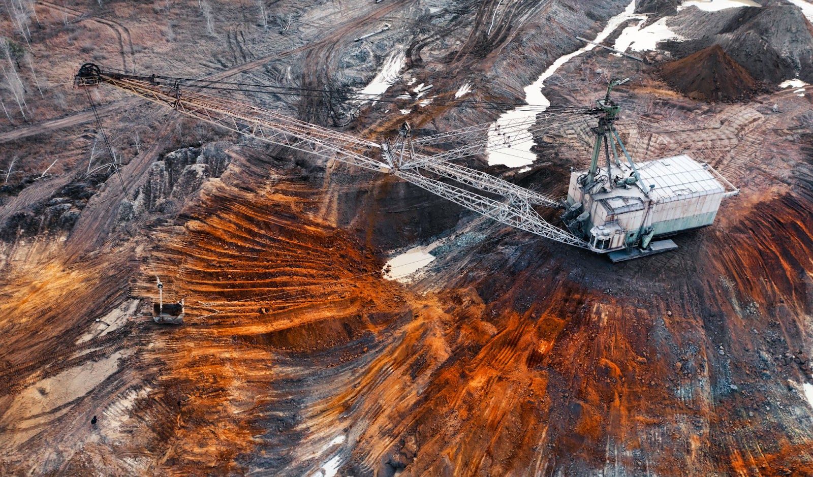
Monitoring in Every Phase of the Mining Lifecycle
Mineral exploration is essentially a high-stakes game of probability. Before anyone authorizes a multi-million dollar drill program, geologists must narrow down vast territories into specific, high-potential targets. This is where the broad availability of Sentinel 2 imagery changes the equation. Unlike commercial satellites that capture narrow strips of land, Sentinel-2 covers a massive 290 km swath. This allows exploration teams to map entire greenstone belts or orogenic zones in a single pass, using specific band ratios, such as 4/2 for iron oxides or 11/12 for argillic alteration, to detect the "smoke" of hydrothermal systems before boots ever hit the ground.
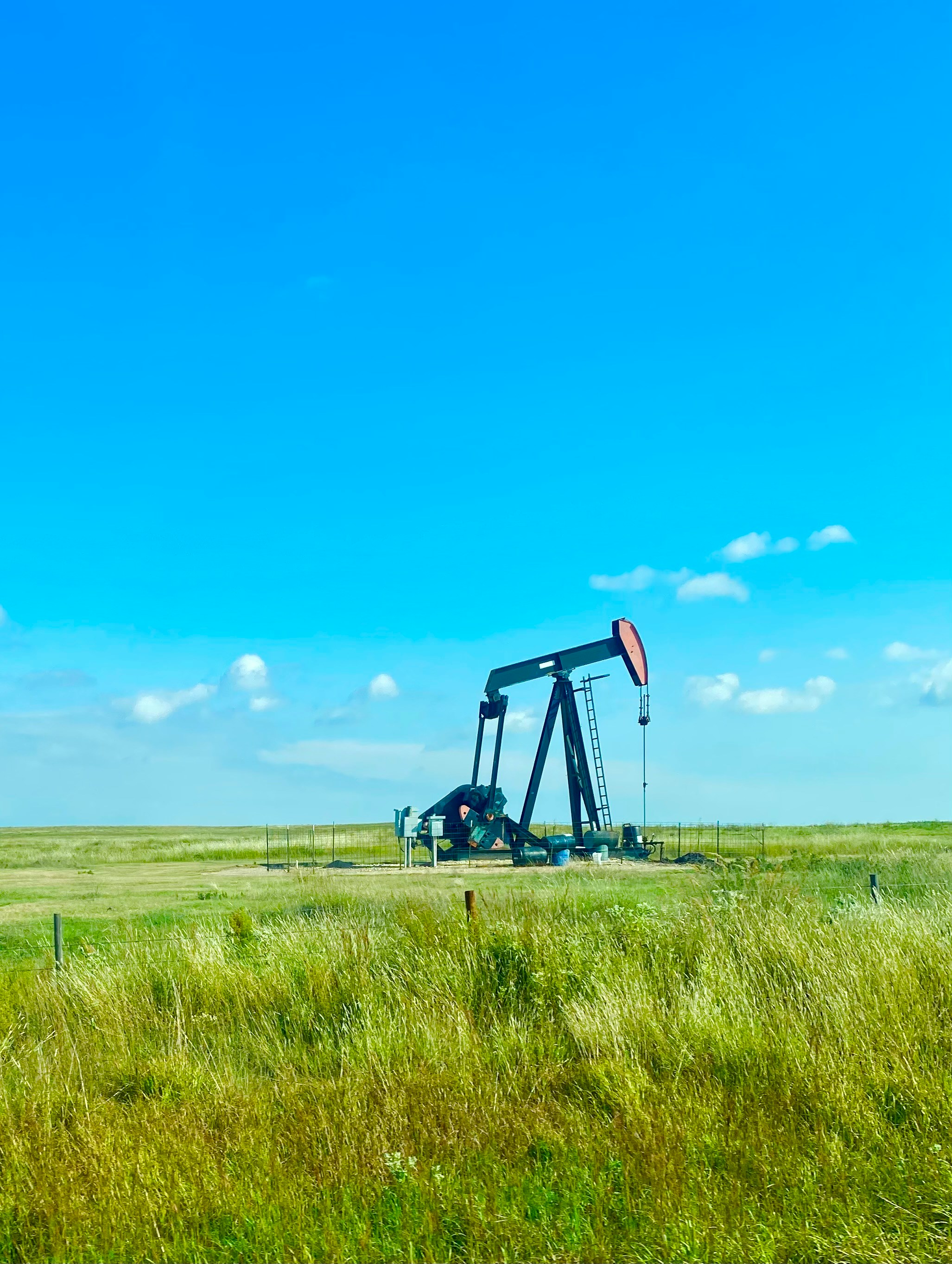
As a project pivots from the adrenaline of discovery to the daily grind of development, the role of satellite imagery shifts dramatically. It stops being a treasure map and becomes a relentless security camera. This is where Sentinel 2 imagery evolves from a tool for simple detection into a platform for constant surveillance. Service providers are essentially handing mine owners a "single source of truth" that refreshes every few days, ensuring that the reality on the ground actually matches the Gantt charts in the boardroom.
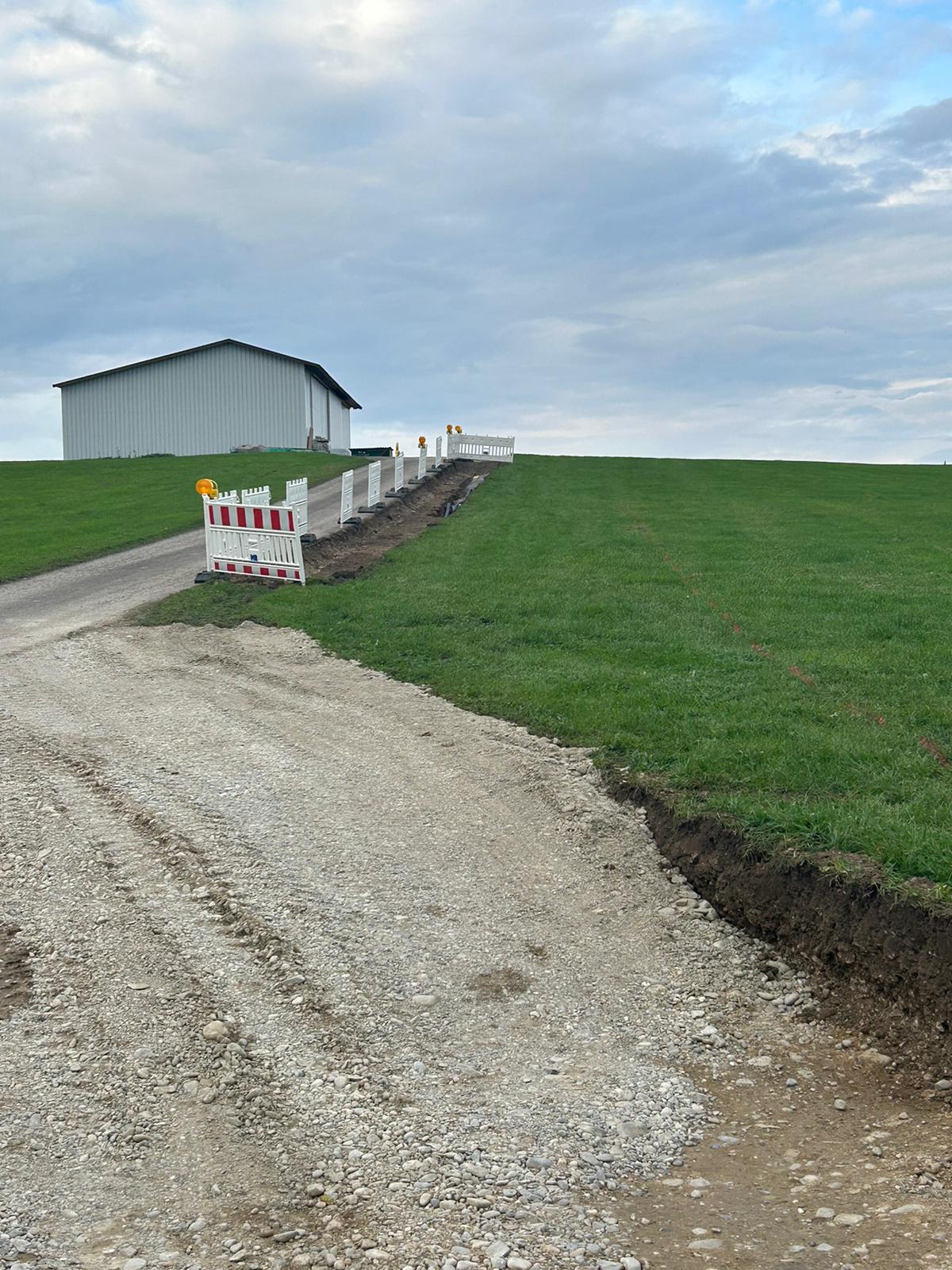
- Construction: It is about accountability. We track land clearance and infrastructure build-out in near real-time, verifying that every new road or plant aligns perfectly with regulatory approvals—preventing costly compliance headaches later.
- Operations: This is daily vigilance. We monitor stockpile shifts, check tailings dam integrity, and spot illegal encroachment on the perimeter before it becomes a liability.
- Logistics: In unforgiving terrain like northern forests, we utilize specific red-edge bands (B5-B7) to judge vegetation density, helping logistics teams identify the safest seasonal access windows.
Environmental Management and Compliance
A couple of years ago, mining companies could submit a fabricated report to prove that they are environmentally friendly. Luckily, We have moved into an era of "trust, but verify," where a quarterly PDF and a firm handshake are not enough. Communities, investors, and government bodies demand hard, data-driven evidence. How can this evidence be received? Yes, using satellite technologies.
Think of riparian vegetation as the "canary in the coal mine" for Acid Rock Drainage (ARD). Long before a stream turns that tell-tale orange, the plants along its banks start to silently suffer. The human eye often misses this early stress, but Sentinel 2 imagery does not. By tapping into specific "red-edge" and near-infrared bands, we can detect invisible stress signals, specifically a drop in chlorophyll health, weeks before a single leaf turns brown.
Then there is the logistical headache of water monitoring. Sending a technician to physically sample a remote tailings pond or pit lake every week is often impossible or expensive. Satellite oversight offers a reliable alternative. Using the 20-meter resolution bands, we can track turbidity levels and spot algal blooms from orbit. Algorithms like the Normalised Difference Water Index (NDWI) allow us to map shifting water lines with precision, while others act as a proxy for measuring suspended solids. It gives environmental teams a clear, consistent picture of water quality, even when the site is buried under snow or accessible only by helicopter.
The Shadow Industry: Combating Illegal Mining from Space
Illegal mining isn't just a headache for security teams; it is a full-blown crisis. In South Africa, they call it zama zama; in Ghana, galamsey. Whatever the name, the result is the same: a staggering economic bleed. We are talking about roughly US$1 billion lost annually in South Africa and double that in Ghana. These aren't just statistics; they represent lost taxes, rattled investors, and environmental nightmares that legitimate operators are often left to clean up.
Sending security patrols into these volatile areas is often too dangerous or legally messy. This is where Sentinel 2 data access changes the game. Instead of putting boots on the ground blindly, companies like Swift Geospatial use automated change detection to spot the subtle "tells" of encroachment. We’re looking for fresh tire tracks, sudden vegetation clearing, or a spike in water turbidity, signs visible from space long before a permanent camp is built.
The cost isn't always financial; sometimes, it’s human. Look at the Munduruku Indigenous People in Pará, Brazil. Illegal gold miners who are poisoning local water supplies with mercury and tearing down forests. The only way to understand the true scale of this devastation and provide evidence for the legal process is to use smart satellite platforms and satellite intelligence. It is a grim but necessary lesson: whether we are protecting corporate balance sheets or indigenous lives, the view from orbit is often the only way to establish accountability in these remote zones.
Conclusion: The View from Above
The mining lifecycle is measured in generations, not fiscal quarters. To survive this marathon, operators need a data stream that is consistent, verifiable, and enduring. This is where Sentinel 2 data proves its worth. Whether you are a junior geologist mapping alteration halos in the remote Labrador Trough or a major producer validating reclamation in the Athabasca oil sands, this imagery has graduated from a "nice-to-have" to an operational necessity.
The industry divide is now clear: those harnessing this spectral richness gain lower risks and faster regulatory approvals. Those who ignore it are left with costly field campaigns and paper-based reports in a rapidly digitizing world. The satellite passes overhead every five days, the only question remaining is whether you are ready to use what it sees.
Author :
Kateryna Sergieieva
Kateryna Sergieieva has a Ph.D. in information technologies and 15 years of experience in remote sensing. She is a scientist responsible for developing technologies for satellite monitoring and surface feature change detection. Kateryna is an author of over 60 scientific publications.